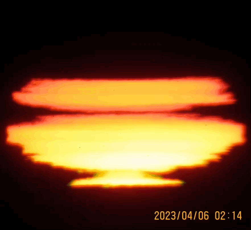
~It likely was a mix, warmed up thinner sea ice with little snow cover rapidly cooled surface air, but also on land (the appearing red flash), not having so much snow as well, warmed during a sunny day with light winds, with permafrost boosted cooling of interface air at sunset.


Must invert the GIF's for proper perspective. It has been a strange sunset season, mainly influenced by the least snow cover in many years. Top permafrost was vulnerable for a great cooling, however winter past was mainly warmer than usual, with only a few weeks of deep freezing hovering about -40 C. As a result we have had no very rapid rebound cooling on the surfaces, until air temperatures got warmer while permafrost and sea ice steady peak cold temperature layers became prominent compared to air temps, exacerbating stronger thermal inversions.... In other words, it is starting to be interesting late in the season, while it was very dull earlier. Notice the multi colour flashes, this was routine throughout winter when the sun was up, now we have to wait for temperature contrasts to form. WD April 5 2023

No comments:
Post a Comment