~Sea ice melt pond data is scarce, but from long presence of Gyre Anticyclone it is assumed that there are many
~The effects of about to disappear circulation will be compounded by the effects of the coming one
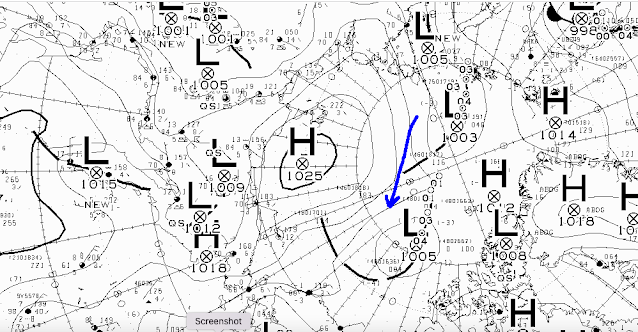
CMC June 12 12 UTC surface prog:
The sliding of the North Pole cyclone to the Arctic Basin Gyre location seems apt to be more permanent.
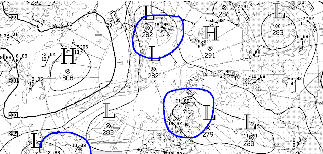
The repositioning of the CTNP's poised to be at the Pole except for North Alaska, which will get a North Pole Upper Air flow, all indicate a near permanent Cold Temperature North Pole at the North Pole...
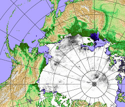
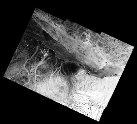
Melt Ponds are a key factor determining the extent of melt damage done to sea ice early on the melt season. They are hard to detect, but this can be done indirectly:
June 10 North of Inuvik Beaufort sea nebulous cloud haze like image seem to indicate wide area of melt ponds.
As far as sea ice is concerned, the Low pressure over Arctic Ocean Gyre will shape the over all sea ice melt picture pretty much as I expect, however slow sea ice extent seems to vanish is an illusion of sorts, the damage from the long presence of anticyclone allowing more sunshine was done, any further massive storm will bring out near future fissures and exacerbate the melt process further especially late July. WD June 12, 2022


No comments:
Post a Comment