
First the unprecedented warming bit. Autumn early winter 2016 outclasses all others. DMI North of 80 surface temperature s easily beat 1998, 2007 and 2012 by very wide margins.
We should apparently use this model to predict the next season minima with 66% confidence:

Fall 2011 DMI really didn't give a hint of the coming 2012 summer season melt. 2006 fared quite well, 2015 not so bad.
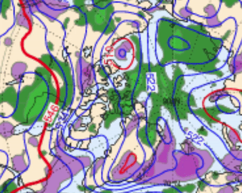
ECMWF 500mb animation, next 7 days along with 2 other models, GFS and CMC , all agree that the incoming Cyclones from the North Atlantic will not happen. Note the lack of steady position of the 500 mb Lowest thickness. 500 mb is used here to find the coldest column of air about . If the 500 mb lowest height was around Southern Greenland, there would be great flow Northwards.

No comments:
Post a Comment