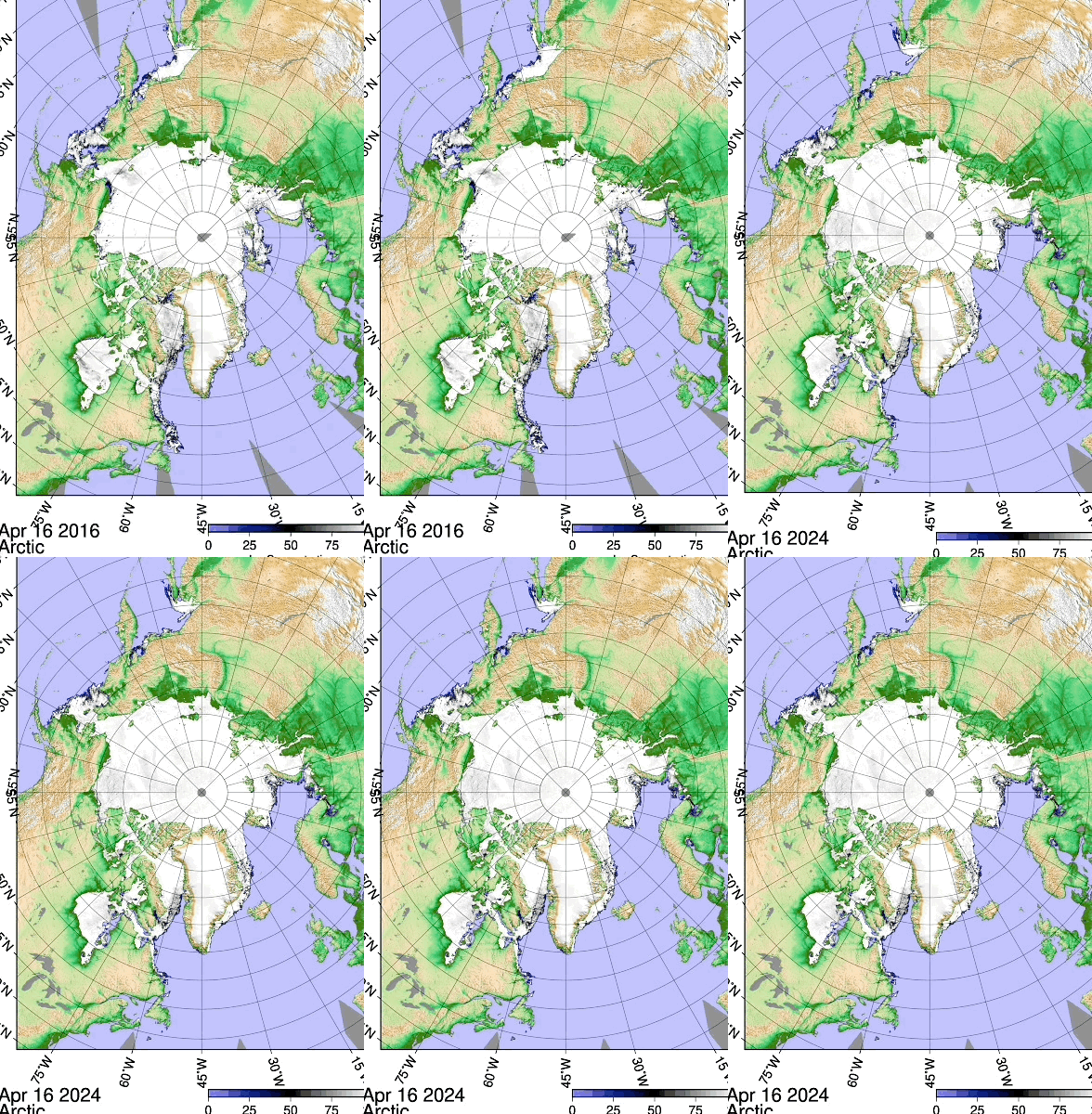
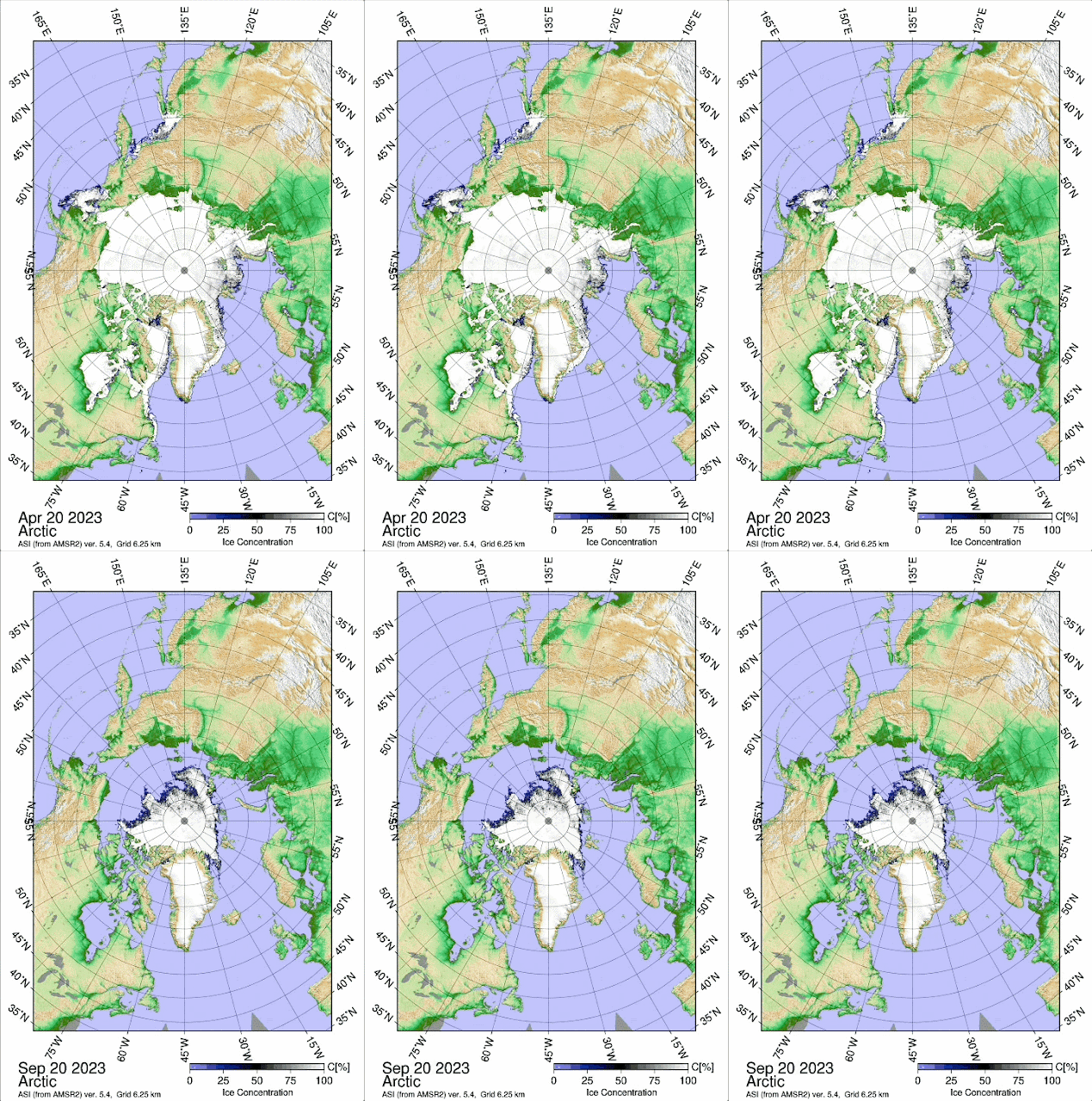
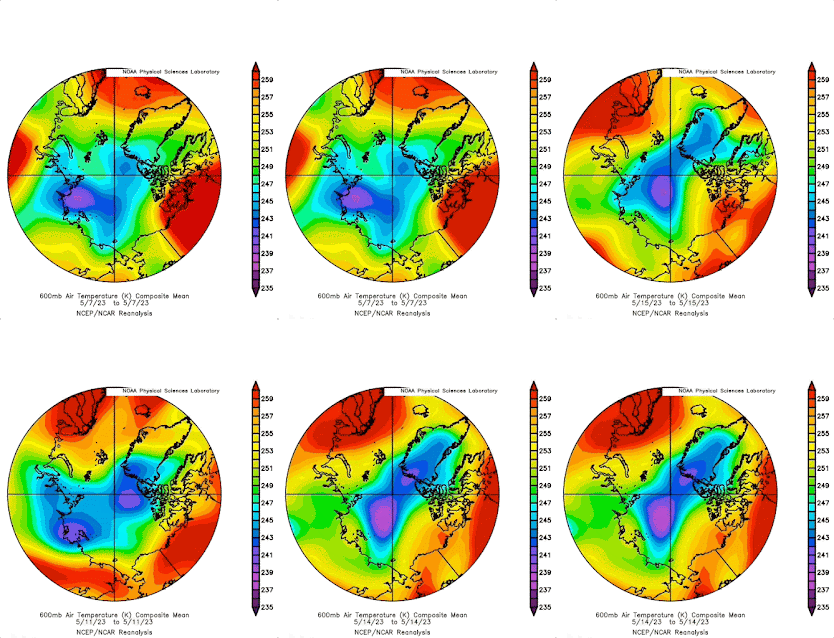
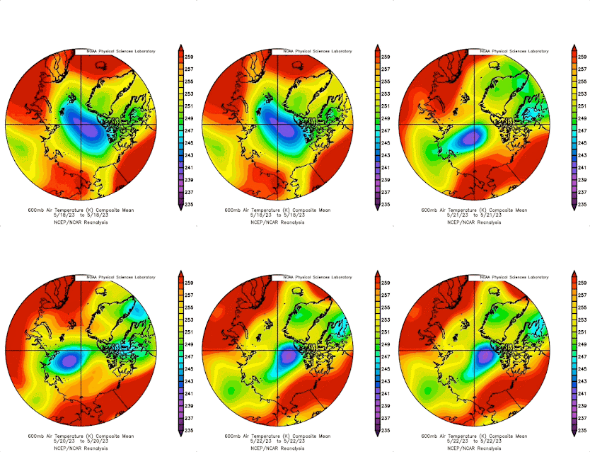
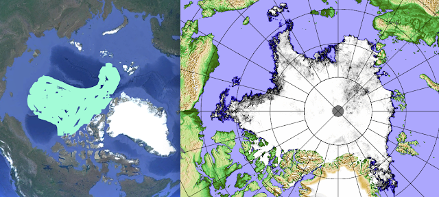
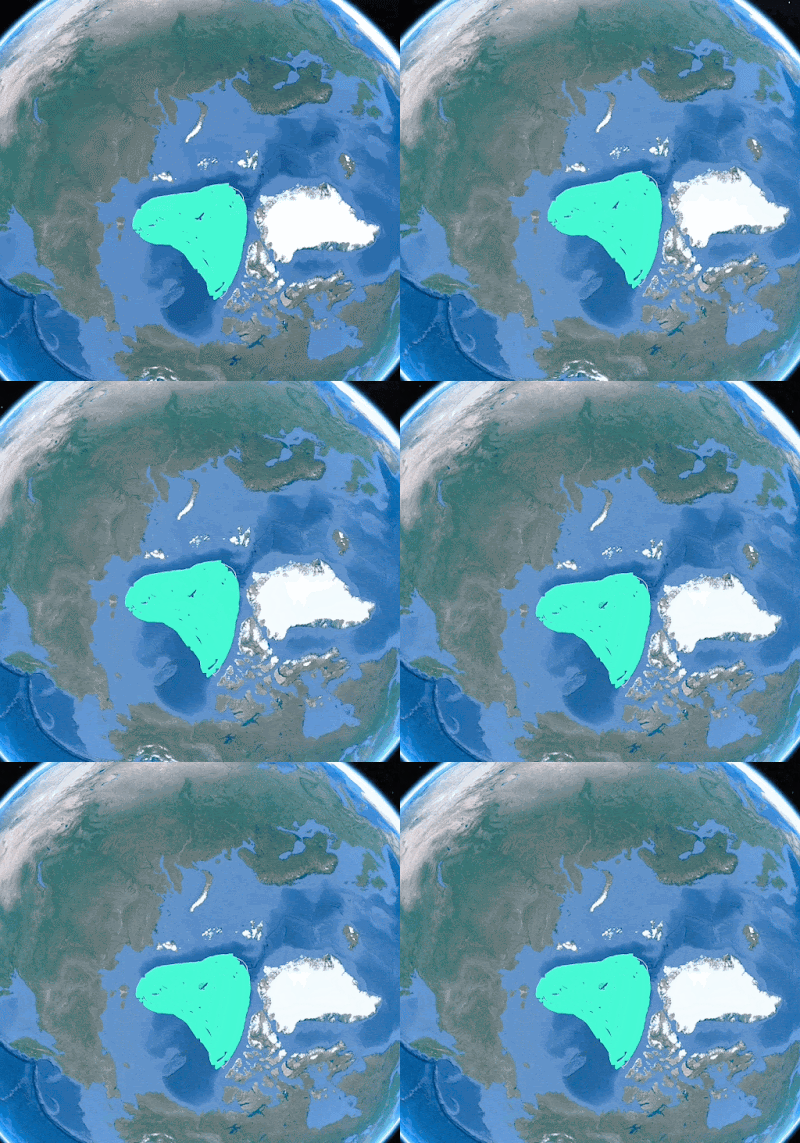
~Summer 2024 is already baked hot
~Slow transition to La-Nina, there still persists a surplus of Arctic clouds
~2016-2024 remarkably similar, suggesting a 2016 summer
~ Вот это да! Cold Temperature North Pole was more Siberian Russian
WHAT is the score? Vertical sun disk differential refraction results.
The most potent forecast tool in the world, number of average maximum vertical sun disks, at decimal elevation from 0 to 10 degrees, confirm there is an El-Nino, might seem a ridiculous statement,
but all measurements were done 4476 nautical miles from the equator, keep that in mind.
Astounding Results, La-Nina’s or La-Nina type seasons rank in the bottom , El-Nino’s or close to El-Nino peaks rank in the top, strong sea ice melts rank in the middle, such as 2021,2016, 2012 and 2007. Sea ice will be dealt with later, it is not so simple, all the while of these years sea ice has been progressively thinning, it is no longer comparable without injecting this fact. 2024 had #1 ranking for the longest time during this cloudy observation period, gradually as the sun set further North, vertical sun disk diameter measurements got smaller, because sun rays penetrated the true cold Polar airmass Northwards of 270 degrees azimuth. This year was no exception, but there were a few records North of 270 degrees, it was amazing. I expected the Cold Temperature North Pole centre to nearly always show record shrunken sun disk diameters North of 270, as was with previous recent years. But that was not the case. CTNP was mainly in Russia, self driven away by onslaught of record warm North American temperatures, which were in no small part driven by Polar Vortex morphology. Data from 355 vertical sun disks observations, each one having huge potential in measuring the temperature of the entire atmosphere, like placing thousands of thermometers in line towards the sun all the way to space. The Southwards sun disks, almost all of them, were near record or surpassing record measurements. Of each individual elevation degree levels, from 0 to 10 degrees, 9 were 0.1 minutes or more (minutes of arc) above average of 2006 to 2021, however all 2024 individual degree averages were above years 06 to 21. We note 2018,19,20,22 and 23, all years mainly taken at or near centre of CTNP, making the bottom of the rankings, 2024 marks a significant shift in weather patterns, wherever you are in the Northern Hemisphere, expect different weather, which in some parts of the world is good, in other areas which benefited recent years good summer weather, sorry for the change. In retrospect 2021, 2006, 2005 and 2009 all had spring time ENSO warming. Which leads to an interesting posit; are ENSO and the Polar regions CTNP’s placement interlocked? Does one need the other to reappear?
Sunsets
Round is the word, for most sunsets such as this one March 11 2024, very tame , lame, no refraction miracles.
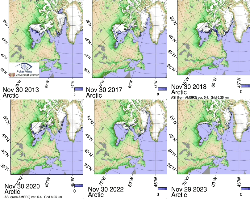
The entire sunset season was defined by excessive clouds, as one might have during a strong El-Nino period. The sea ice also formed late in the fall of 2023, under mostly cloud covered skies, meaning ice did not accrete as much as usual, this thinnest guarantees weaker inversions. When the sun reappears during the long night, it warms the sea surface more, and the thermal sea ice rebound is less immediate with thinner ice, in other words, the creation of
thermal layers is more gradual, therefore less horizon sky anomalies. Skimming from the few sunsets gathered were mostly Southwards, thus shorter spring days by the mere warming of the Arctic.
First underwater sea ice interface melt
First melt occurs when a thermal balance is obtained by solar for forcing, when the bottom of sea ice starts melting. The thicker the sea ice the greater sunshine is needed. This melting is temporary, still allowing
over all daily accretion eventually bottom melting last hours until melting exceeds accretion, then the ice starts breaking apart. 2024 winter had primarily no snow on the surface, a benefit for sea ice accretion,
if the low snow cover remains in the spring, it is detrimental for accretion. This years first melt occurred March 16, one
of the lowest on record, but it snowed a lot more after that date, thus sparing a continuance of longer under sea ice melting. As a consequence of this spring gained more normal snow cover, It took nearly a month for bottom melting
to resume on April 11. Although the bottom melting has stopped for a while, ice accretion of course lessened, because of thicker snow insulation, it was likely a zero sum gain for sea ice thickness. But indeed an illusion for the larger total
sea ice extent it may give as viewed from space. If this snow cover gain spread throughout the Arctic, I don’t see why not, because of the Atlantic and Pacific moist air dominance, bearing more clouds and snow, this was equally seen with
polar orbiting satellites as some Arctic basin leads, in particular vast areas with thinner sea ice changed colour from grey to white. The over all sea ice extent may appear larger, but eventually will foster more melt ponds, over thinner ice, a catastrophic situation only to be averted by excess cloud cover, which is not foreseen, as El-Nino peak is waning.
This Concludes the in situ synopsis, next is the over all consequences to be learned from this analysis based on key data. WD April 21, 2024


