~Global Warming may not be explained in simple terms, one must study to reveal never ending natural variations, where they may be and why they exist.
As written below, the cool Canadian Arctic summer was a complex contribution by 2 major atmospheric players, anti beaufort gyre contrarian winds caused by near persistent presence of cyclones over the Arctic Ocean, and extensive cloud coverage, of which were even present over rather large Arctic High Pressure systems which did happen more often lately.
The great Arctic cloud coverage of 2013 must come from extraordinary reasons, the -extra- is of course ENSO but there was an 'ordinary'; the North Atlantic and Pacific, look carefully at the last 4 months, El-Nino loomed like North of the equator, La-Nina was just South:

One reason why there were fewer or no hurricanes in the South Atlantic, but lots of thyphoons in the Pacific was and is that the Northern Hemisphere is in El-Nino mode. While the Southern Pacific is very much like a La-Nina. ENSO has a split personality syndrome. Furthermore the North Pacific is unusually warm. The cloud seeds are planting continuously, therefore clouds under a high pressure regions are possible.
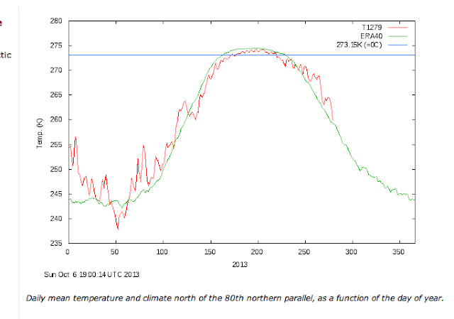
Conversely a cool Arctic summer, can't contribute to a cool following fall, not logical isn't it? However, the clouds persist. Giving naturally a much warmer fall: