~Sea ice in NW passage thickest in years
~Reasons contradictory but consistent
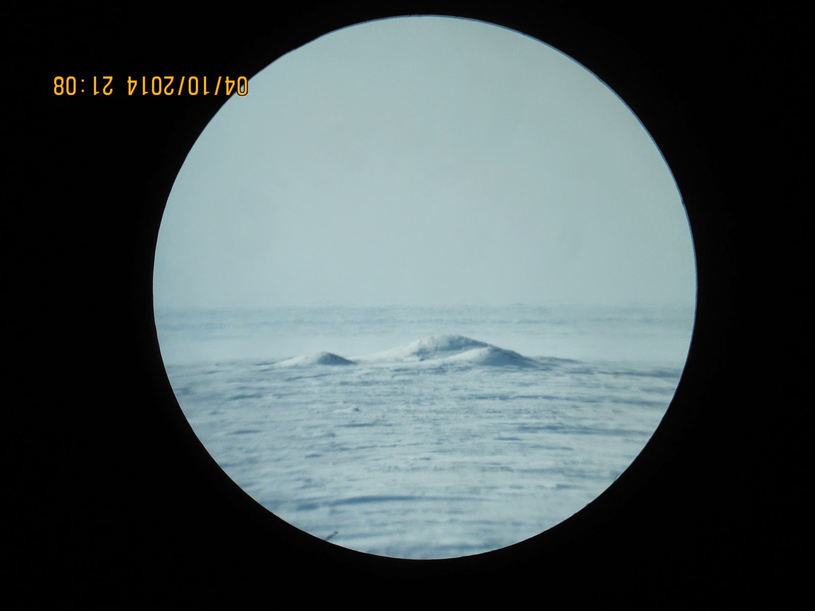
Last 4 preceding seasons, the melting consistently started 3 weeks prior April 10

Super warm 2010, sea ice was much thinner, and had open water leads during all ice months.
2011 was equally warm and first melt started consistently 30 days earlier than 2014.
2012, the year of all kinds of sea ice records, again the
sea ice started to melt 29 days earlier than 2014. Ice thickness was similar to 2011.
2013 , the winter of clouds continued into spring, at least on the Canadian side of the Pole. Ice thickness was similar to 2011-2012. Clouds enhance melting especially at night, the combination, sun at noon clouds at midnight enhance the thawing process.

2014 stands out very strange after more regular successive years, but it is explainable. Although the winter was warm for most of the Arctic Ocean, the North American sub-Arctic was brutally cold. This affected the Arctic Archipelago area to a great degree. But we must go back to summer 2013 Arctic Cyclones pervasive presence which stopped the warming of the Arctic Ocean as with preceding recent years, this allowed spreading out of loose pack ice to trigger earlier onset of fast sea ice in the fall. The greater Pan-Arctic winter was mostly cloudier, but without a great deal of precipitation in the CAA Arctic Basin area, this made the sea ice even thicker during wind storms. After end of long night, a short lived La-Nina partially triggered a cloud free period made even less cloudy by the thicker Archipelago sea ice area spurring the creation of consistent Anticyclones. We are at this time experiencing the continuance of Anticyclones which favor ice accretion until the sun becomes too high in altitude. There is evidence that the CAA will continue being pervasively anticyclonic until summer. wd April 10-11, 2014
No comments:
Post a Comment